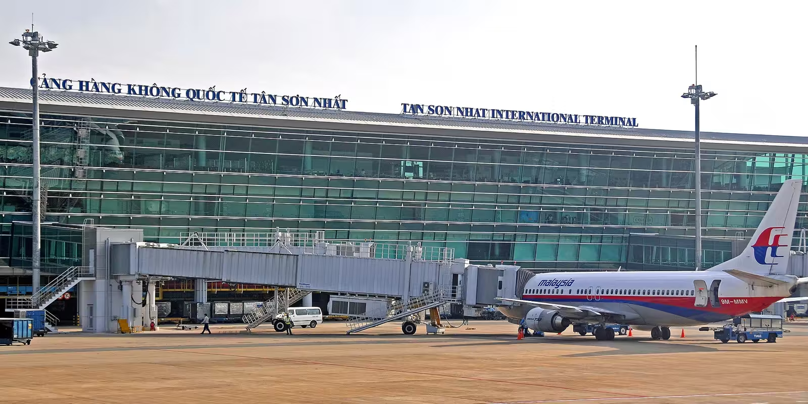
SGNVVTS
Tan Son Nhat International Airport
Ho Chi Minh City, Southeast Region, Vietnam
Weather at Ho Chi Minh City Loading the latest report…
Local time
–
Asia/Ho Chi_Minh
Runways
2
Longest 3,800 m
Elevation
10 m
33 ft
Track a flight from Ho Chi Minh City
Type the flight number on your ticket, such as AI2812 or 6E2169.
Runways
| Runway | Length | Surface |
|---|---|---|
| 07R/25L | 3,800 m (12,468 ft) | Concrete |
| 07L/25R | 3,050 m (10,007 ft) | Concrete |
Radio frequencies
| Service | MHz |
|---|---|
| Approach | 125.5 |
| ATIS | 128 |
| Ground | 121.9 |
| Tower | 118.7 |
Listed by the OurAirports community; may be out of date.
Airport facts from OurAirports (public domain). Weather from the NOAA Aviation Weather Center. For information only, not for navigation.
Banner photo: Dennis G. Jarvis, via Wikimedia Commons, CC BY-SA 2.0; cropped.
